


Boulder 21, Boulder County, Colorado
About
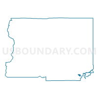
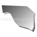
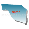
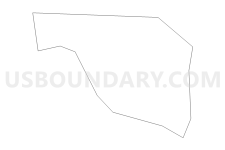
Outline

Summary
| Unique Area Identifier | 546837 |
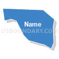
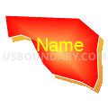
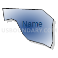
| Name | Boulder 21 |
| County | Boulder County |
| State | Colorado |
| Area (square miles) | 0.40 |
| Land Area (square miles) | 0.39 |
| Water Area (square miles) | 0.01 |
| % of Land Area | 98.43 |
| % of Water Area | 1.57 |
| Latitude of the Internal Point | 39.94380020 |
| Longtitude of the Internal Point | -105.15381830 |
Maps

Graphs
Select a template below for downloading or customizing gragh for Boulder 21, Boulder County, Colorado


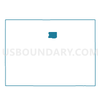
Neighbors
Neighoring Voting District (by Name) Neighboring Voting District on the Map
- Boulder 20, Boulder County, CO
- Boulder 22, Boulder County, CO
- Boulder 23, Boulder County, CO
- Boulder 24, Boulder County, CO
- Boulder 61, Boulder County, CO